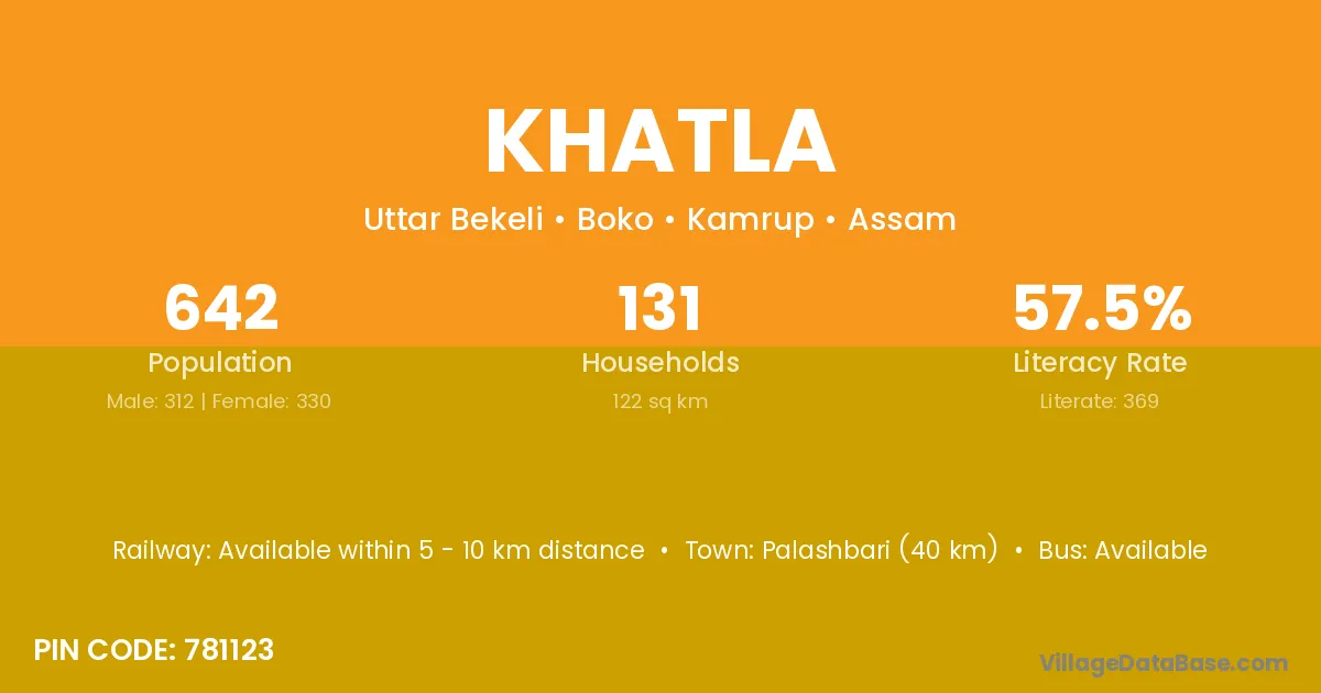
Khatla village is located in the Boko Subdivision of the Kamrup district in Assam .
Block / Subdivision → Boko
District → Kamrup
State → Assam
According to Census 2011 information, the village code of Khatla village is 781123.
Khatla village has a total population of 642 people, of which 312 are males and 330 are females.
The literacy rate of Khatla village is 57.48%. Male literacy stands at 63.78% and female literacy at 51.52%.
There are approximately 131 households in Khatla village.
Palashbari (40 km) is the nearest town to Khatla village for major economic activities and is located approximately 40 km away.
The population of Khatla village is distributed between literate and illiterate residents as follows:
| Particulars | Male | Female | Total |
|---|---|---|---|
| Literate | 199 | 170 | 369 |
| Illiterate | 113 | 160 | 273 |
| Total | 312 | 330 | 642 |
Source: Census 2011
| Village | District |
|---|---|
| Dakhalai | Kamrup |
| Kamar Gaon | Barpeta |
| Kamar Gaon | Dibrugarh |
| Kamar Gaon | Dibrugarh |
| Kamar Gaon | Golaghat |
| Kamar Gaon | Jorhat |
| Kamar Gaon | Kamrup |
| Kamar Gaon | Kamrup Metropolitan |
| Kamar Gaon | Nagaon |
| Kamar Gaon | Nagaon |
| Kamar Gaon | Sonitpur |
| Lower Lumpi | Kamrup |
| Majpara | Bongaigaon |
| Majpara | Bongaigaon |
| Majpara | Kamrup |
| Majpara | Kamrup |
| Majpara | Kokrajhar |
| Mokebari | Kamrup |
| Moutapi | Kamrup |
| Narenga | Kamrup |
| Narenga | Barddhaman |
| Narenga | Barddhaman |
| Niz Bekeli | Kamrup |
| Omiup | Kamrup |
| Simila | Baksa |
| Simila | Kamrup |
| Simila | Mayurbhanj |
| Upper Lumpi | Kamrup |
No reviews yet. Be the first to review this village!
Available within 5 - 10 km distance
Available within 5 - 10 km distance
Available within village